Azerbaijan: Bazardüzü

General Information

Height: 4,466

Difficulty: 3

Best Time To Climb: July, August and September

Length of Time to Climb: Two – Three Days 

Permits Required: Yes. You will need the following Permits: 

1. A permit from the frontier military troops is strictly required. The permit must be applied from the Azerbaijani Ministry of Environment.

2.You will then also need a permit to enter the national parks in Azerbaijan. For Bazardüzü you need the permit from the Şahdağ Milli Parkı.

Accomodation: In the village of Laza, situated in the region of Qusar, Azerbaijan, there is a range of hotels varying from small and traditional to more established luxury hotels such as the Park Chalet, Shahdag that offers spa facilities and five star accommodation.

Overview

Mount Bazardüzü, which translates directly as ‘marketplace mountain’ is situated on the border of Russia and Azerbaijan. It is named for the flat lands below, where in the past the Dagestani, Persian and Azerbaijani people would meet to trade.

The highest point in the Republic of Azerbaijan, Mount Bazardüzü is situated in the eastern part of the Greater Caucasus mountains on the border of the Russian federal republic of Dagestan, and the highest point east of the Mt. Kazbek (5047m) in Georgia.

How to get there

You can reach Mount Bazardüzü by firstly flying in to its nearest airport, Heydar Aliyev International airport. 

From here, unfortunately there is no public transport to take you to the mountain. However, it is possible to rent a car and drive along the coast of the Caspian Sea until you reach Laza. The drive is approximately a 3 and a half hour journey in total and is the best possible way to reach Laza from the international airport. 

The Route

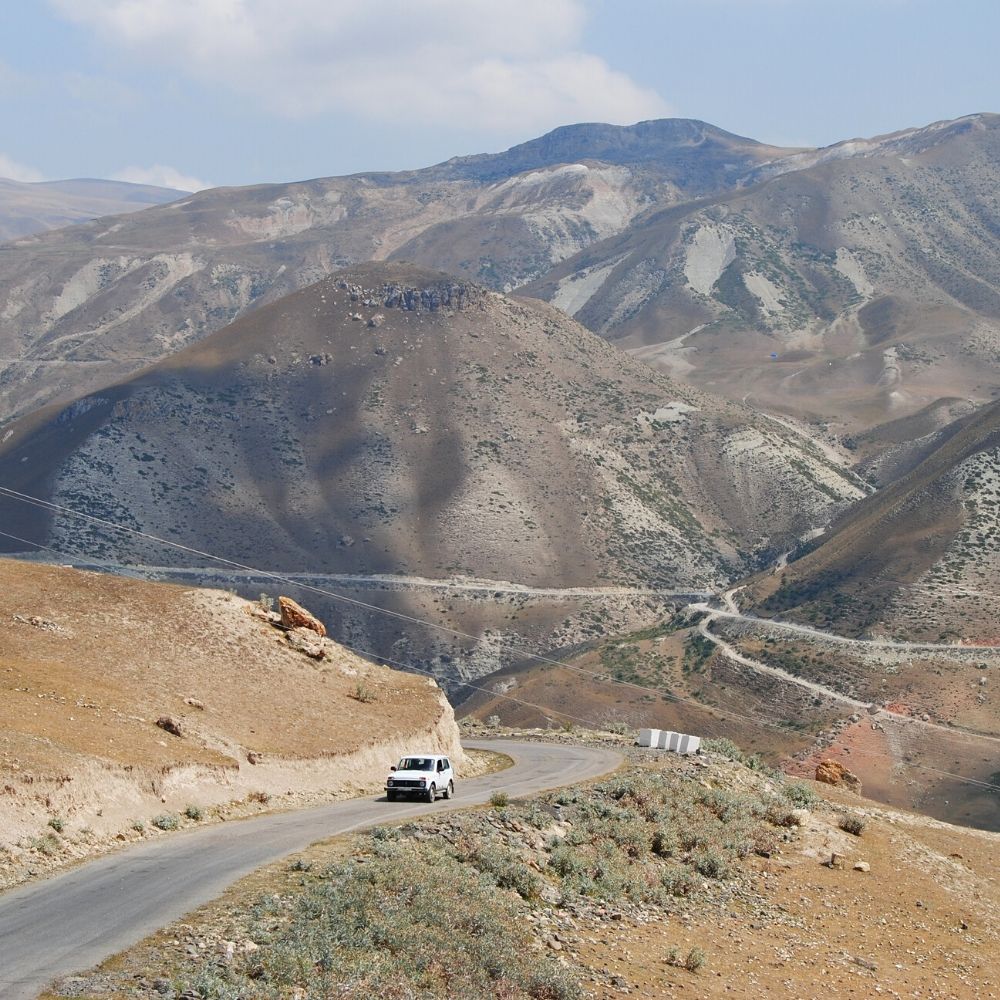
You will begin your hike to the summit at the flood plain of the river Yatuxdərə, at a height of 2800m. Using the car you would have rented from the airport, you can drive here from Laza.


About 5 minutes into the valley there is a small grassy, where you can set up camp if you wish to. From here, you follow the track via the clear trail along the north-side of Yatuxdərə until you reach a height of approximately 3100m. At this point, you must cross the mountain stream.


After this point, continue to follow the trail. You will first pass through scree, followed by a grassy area until you reach a height of 3250m, where you will then cross a sidearm from the river Yatuxdərə.


You will reach another grassy area where you can choose to camp again if you wish to do so.


Following on from this point, continue until you reach an uphill field with several large stone rocks. Pass the rocks by a few hundred meters, and upon doing so you will have to cross the river again at a height of 3350m.


You are now a the beginning of the south ridge with a gravel-y terrain. At about 4000m you will reach a small saddle with some small rocks.
Continue along the south ridge; however, you will notice there is now no longer a trail. At a height of around 4,300m, you will reach the wide East Ridge. Follow the route across a field of snow until you reach the summit; it will be marked with a metal triangle!

What to pack

It is important you pack the necessary equipment to make the climb as easy and comfortable as possible. Please find our recommended kit-list below.

Clothing

  • Hiking Socks
  • Gaitors
  • Double Boots/HikingBoots
  • Comfortable Underwear
  • Base Layer (Bottoms and Tops)
  • Midlayer Top (Hoodies/Jackets)
  • Softshell Jacket
  • Softshell Pants
  • Hardshell Pants 
  • Hardshell Jacket
  • Insulated Jacket
  • Lightwear Gloves
  • Insulated Mits
  • Wool/Synthetic Hat
  • Sunhat 

Gear

  • Water Bottle
  • Ice Axe
  • Waist Lease
  • Crampons
  • Trekking Poles
  • Backpack
  • Headlamp
  • Goggles
  • Sun Glasses
  • UV Buff

Additional

  • Power Adaptor
  • Camera
  • Toiletry Bag
  • ‘Travel Clothes’ e.g. clean clothing that can be worn on ‘travel’ days 
  • Ear Plugs for more comfortable sleep in the huts
  • Sun Protection (Sunscreen and Lip Screen)
  • Snacks and Drinks
  • Small First Aid Kit

Current Weather

Visit Mountain Forecast to see an in-depth weather map. 

Pin for Later!

Hiking Azerbaijan