Monte Rosa: Switzerland

General Information

Height: 4634m

Difficulty: 5

Best Time To Climb: Mid June to Mid September

Length of Time to Climb: 2-3 days

Permits Required: No permit is required

Accomodation: There are many hotels and airbnbs in the Zermatt Region at the base of the Mountain, or camping is available at Randa, Tasch and Zermatt

Overview

Monte Rosa is a spectacular mountain located in the Eastern part of the Pennine Alps, situated between Italy and Switzerland. 

Climbing Monte Rosa is an experience to be enjoyed for anyone who is enthusiastic about mountaineering. It has awe-inspiring views, and is less crowded than the nearby and more tourist-y Mont Blanc.

If you aim to hike Mount Rosa,  a certified guide should be used. Your guide will be able to help with you with acclimatization, logistics, and most importantly showing you the right way to make the best of your experience! 

There are over 10 peaks, meaning that there are also many possible climbing routes to the summit. Due to this, it  offers options for climbers of different levels – although should still be seen as a difficult hike.

The normal routes to the summits are the most notable Dufourspitze and especially Punta Gniffeti are moderate in difficulty.

How to get there

Monte Rosa can be reached using public transport.

There are three major airports nearby: Geneva, Zurich and Milan. Each of these cities have it’s own train station, with trains that will take you to Monte Rosa. It is recommend you stay at the Zermatt region, a historic and famous Swiss town nestling at the foot of the Alps. 

The Route

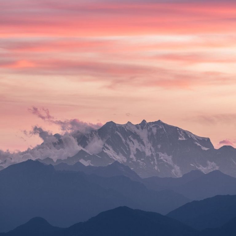
At 4,634 m, Dufourspitze is the highest point on the Monte Rosa massif.If you are approaching the summit from the Swiss side of the mountain, begin at Zermatt. 

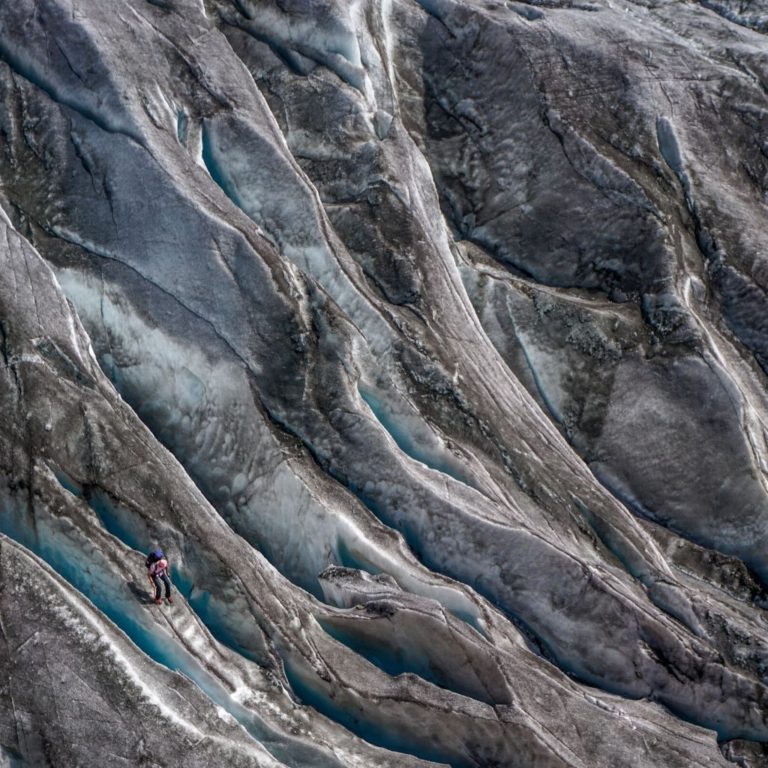
Take the Gornergrat Cog Railway to Rotenboden, which is it’s last but one stop.From here, follow the signed path that heads towards the incredible Gorner Glacier. This involves down-climbing steep slabs using ladders and chains – and crossing a small metal bridge at 2500m. 

The route should continue to be marked with posts and wands. You will cross the junction of the Gorner and Grenz Glaciers and continue following the east bank of the Grenz Glacier. Along the way, you will discover wide crevasses. 

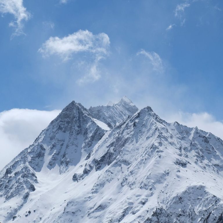
You will leave the ice and begin to scramble across rock slabs, as you make your way towards the first stop: Monte Rosa Hut. The hut itself, at an altitude of 2,883 meters, is a popular base for many excursions and boasts an amazing hi-tech and environmentally friendly new construction

There are now a couple of Routes to the Dufourspitze Summit Ridge from Monte Rosa Hut:

  1. Ascend the Grenz Glacier until you reach the Margherita hut to access the lower end – and an ascent of Southeast Ridge. Time: 5-7 hours.
  2. The ‘normal Swiss route’ as favored by most climbers. Hike the Monte Rosa North West flank/West Ridge to Dufourspitze summit. Descend via the southeast Ridge. Time: 6-7 hours.

What to pack

It is important you pack the necessary equipment to make the climb as easy and comfortable as possible. Please find our recommended kit-list below.

Clothing

  • Hiking Socks
  • Gaitors
  • Double Boots/HikingBoots
  • Comfortable Underwear
  • Base Layer (Bottoms and Tops)
  • Midlayer Top (Hoodies/Jackets)
  • Softshell Jacket
  • Softshell Pants
  • Hardshell Pants 
  • Hardshell Jacket
  • Insulated Jacket
  • Lightwear Gloves
  • Insulated Mits
  • Wool/Synthetic Hat
  • Sunhat 

Gear

  • Water Bottle
  • Ice Axe
  • Waist Lease
  • Crampons
  • Trekking Poles
  • Backpack
  • Headlamp
  • Goggles
  • Sun Glasses
  • UV Buff

Additional

  • Power Adaptor
  • Camera
  • Toiletry Bag
  • ‘Travel Clothes’ e.g. clean clothing that can be worn on ‘travel’ days 
  • Ear Plugs for more comfortable sleep in the huts
  • Sun Protection (Sunscreen and Lip Screen)
  • Snacks and Drinks
  • Small First Aid Kit

Current Weather

Visit Mountain Forecast to see an in-depth weather map. 

Pin for Later!

Pin for Later! Hiking Monte Rosa, Switzerland