
Finally, at 1:30 am we all went off towards Sierra Nevada. Two and a half hours later we reached our cute little hotel in Capileira and went straight to bed. We only had 3 hours of sleep that night, so not as much beauty sleep as I would have hoped for.
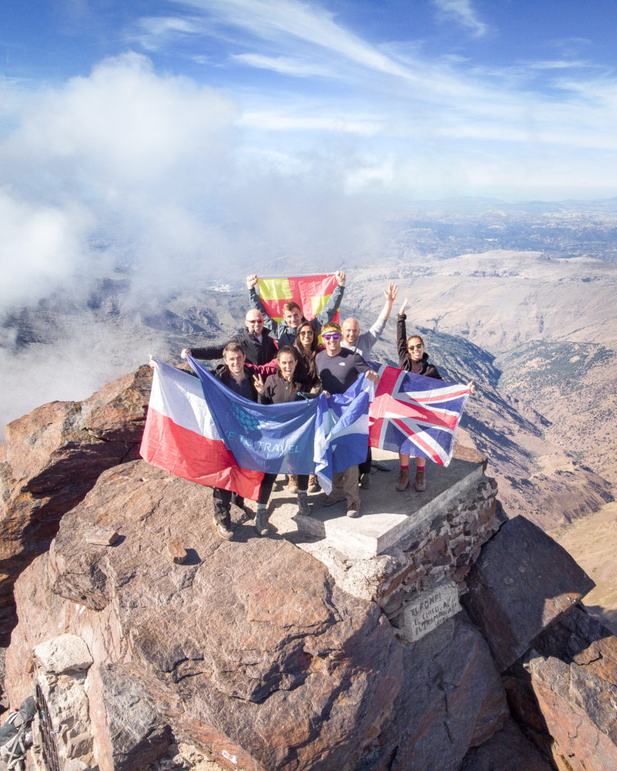
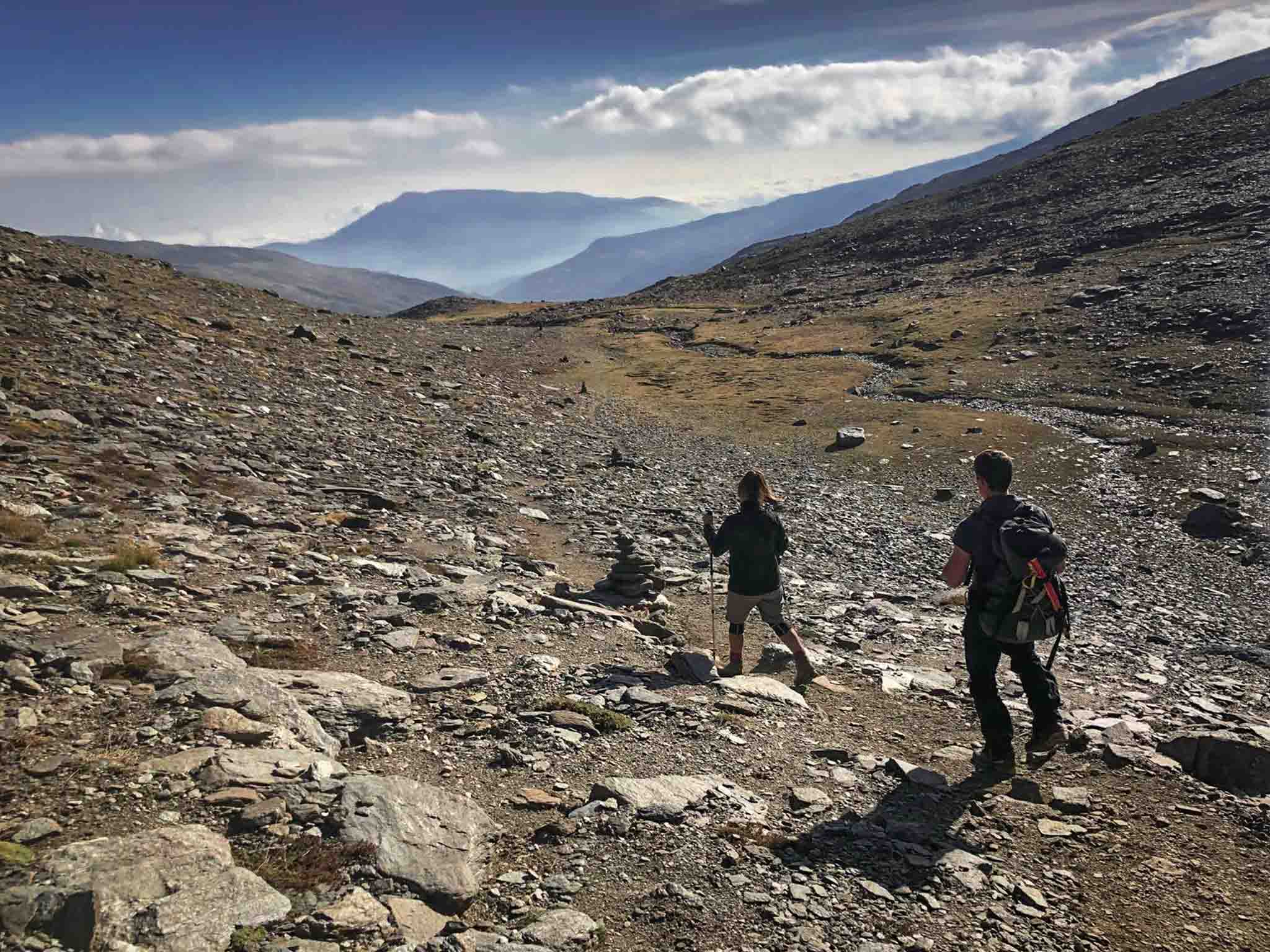
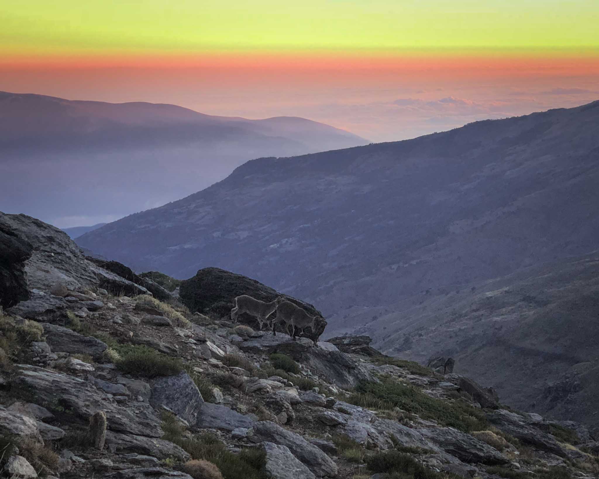
At the summit, there was hardly any wind so we took some cool shots and videos with the drone. We stayed there for about 40 minutes and headed down. At that point Sarah was in so much pain she struggled to walk. So much so, that she decided to walk backwards on her arms and legs… no joke! A real spider-woman in action. It looked hilarious… whatever works though, right? Thankfully it wasn’t too steep and there was no drop around so it wasn’t too dangerous. Luckily after a while someone spotted her and offered their walking poles. It was so nice of them!
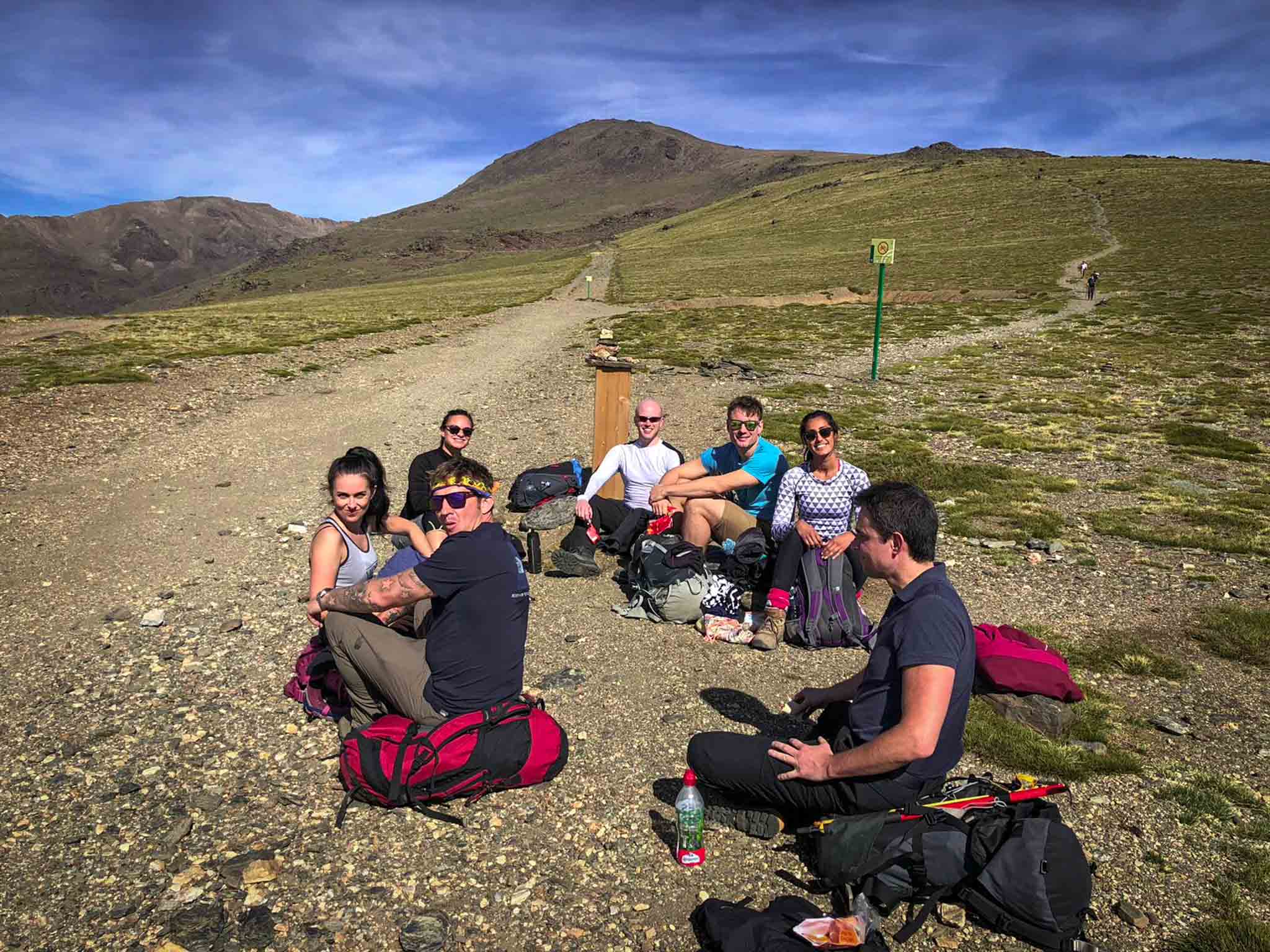
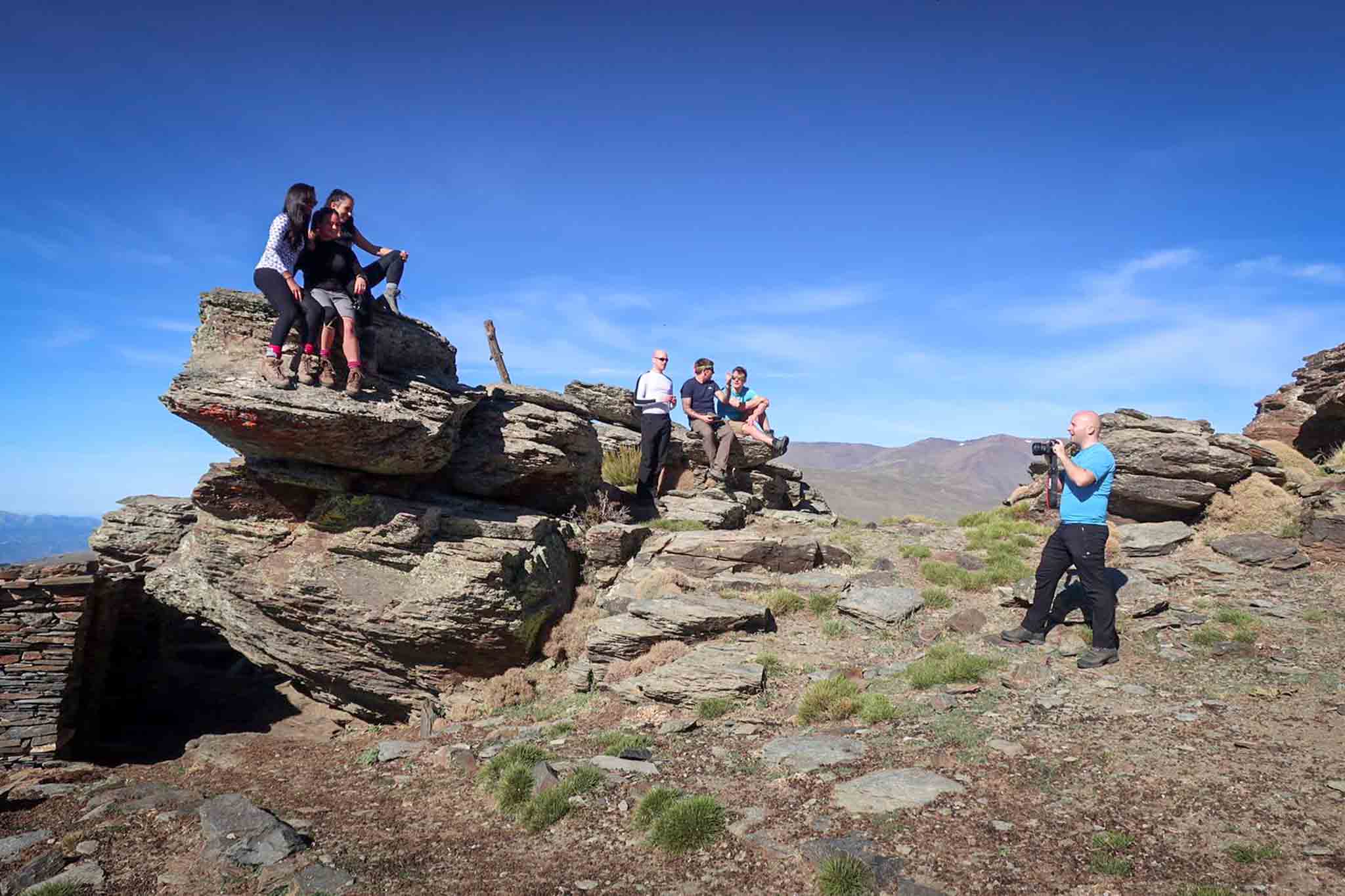
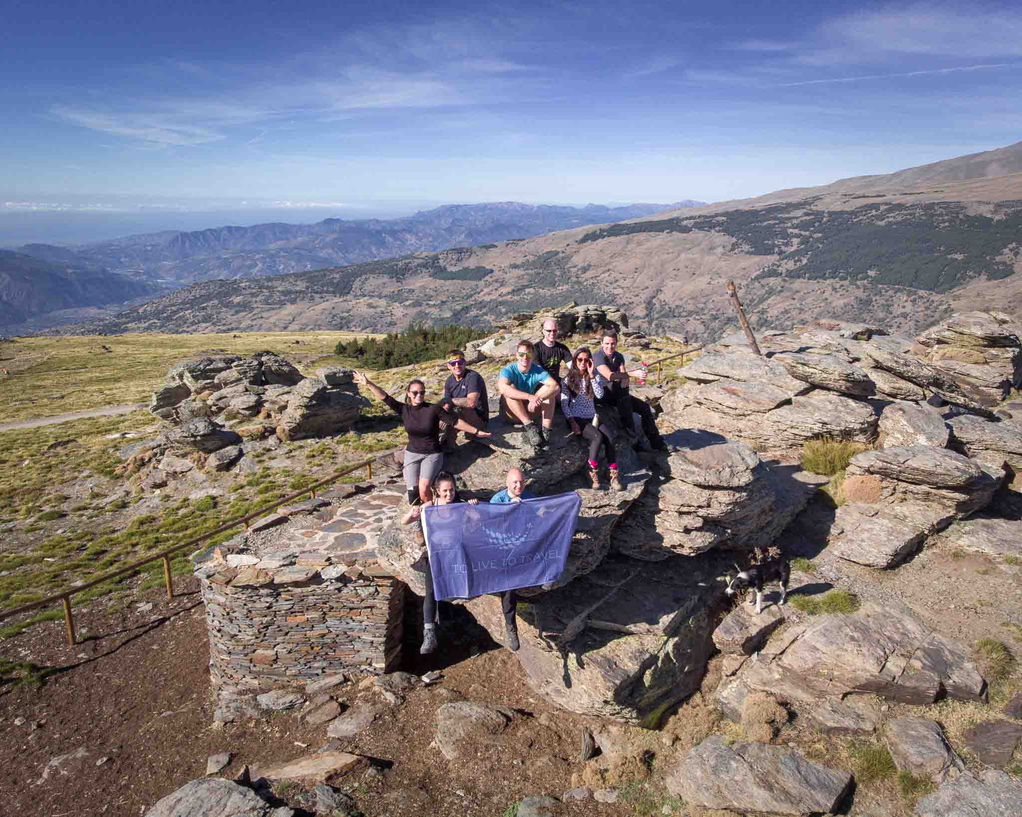
In the meantime, the time was ticking and I was worried the refuge would give away our beds despite the deposit I paid. They hung up on me whilst I was making the reservation, so I had no expectations whatsoever. Therefore, Gary and I run down to secure the beds for all of us. An hour later we were at the refuge… not a bad time considering the distance and gradient, although I felt it the next day! Mike got there shortly afterwards carrying Sarah’s backpack. We sorted out the beds and headed back to the rest of the group, the sun was already going down fast so we wanted to make sure they didn’t get lost.

Pin for Later!
Brecon Beacons – weekend hiking trip guide
Fancy a weekend away hiking in the Brecon Beacons but not quite sure where to start? As you all probably know by now, I love
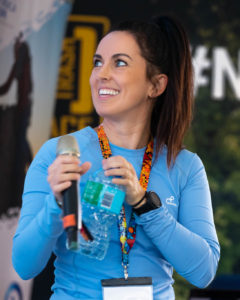
Mountain Festival – Can I climb Everest
I was delighted to speak alongside some of the biggest mountaineers in the world. The topic of my presentation was: Do you need to be an athlete to climb Everest?
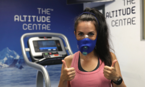
Mount Everest Training: Altitude Centre
As part of my training for Mount Everest, I recently visited the famous Altitude Centre in London, the UK’s number 1 Altitude Training Specialist! They are renowned for their technology and simulated altitude training, to help mountaineers meet their acclimatisation, performance or rehabilitation goals.
